
7 Ultimate Trail Maps for Modern Hiking Dads
Trail Mapping for Modern Dads: Avoiding Parenting Pitfalls
Ever stood on a trail, fumbling with a glitchy app while your kid’s hovering near a cliff? Yep, that was me. Gaia GPS promised adventure but delivered panic.
I share these tales on Modern Dads to help fellow fathers avoid those cringe-worthy “Oops!” moments.
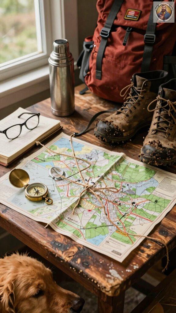
Now, I download USGS topo maps before embarking on hikes. Once, Liam pointed to a ravine and asked, “Daddy, river?” My heart raced. Pro tip: stash coordinates in georeferenced PDFs and keep a paper map in a waterproof AquaQuest case.
And keep it under a 5% incline—Emily’s louder than a marching band if it’s steeper. Snacks at mile 0.3? A must.
Recently, on one of our hiking trips, we took a wrong turn. Instead of panic, I cracked a dad joke. “Well, looks like we’re adventuring off-script!” The giggles saved the day. Being a dad means navigating both trails and tantrums with a smile.
Quick Takeaways
- Gaia GPS offers offline topographic maps and pre-loaded trails, ideal for tech-savvy hiking dads navigating rugged terrain.
- USGS.gov provides free, highly detailed georeferenced topo maps perfect for planning safe and accurate family-friendly hikes.
- TrailSnapper Pro enables custom route creation and sharing, helping dads design kid-safe trails with ease.
- Natural Earth and OpenTopoMap deliver reliable free alternatives with global coverage for budget-conscious outdoor families.
- Waterproof paper maps in AquaQuest cases ensure dependable navigation when devices fail or battery life runs short.
Best Hiking Map App for Trail Discovery and Offline Use
When I’m trying to find trails that won’t leave me lost—or worse, *listening to Liam complain for the third hour straight*—I reach for Gaia GPS without hesitation.
Offline maps? Check. No service? No problem.
I pre-load trails so I don’t panic when the path vanishes (again, *thanks*, Sarah).
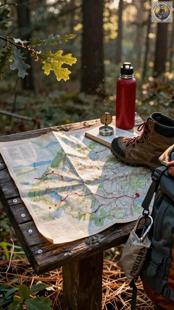
Trail etiquette? Yeah, that means *you* don’t blaze new paths through wildflowers—stay on marked routes. For family adventures, waterproof trail maps provide reliable navigation that withstands unexpected weather conditions.
Safety precautions? Download maps, carry a paper backup (yes, *paper*), and tell someone—*not* just your dog—where you’re going.
Once, I didn’t. Cue Emily’s “Dad, are we *ever* getting tacos?” meltdown.
Pro tip: Gaia’s free tier works, but paid? Lifesaver.
You’ll thank me when Liam’s finally quiet.
Top App for Custom Routes and Backcountry Planning
- TrailSnapper Pro lets you draw custom routes by tapping points on the map—no guesswork.
- I once tried to “wing it” near Bear Paw Pass. Spoiler: we followed a goat trail straight into a meadow of angry cows. Not cool, Liam.
- Now I sketch routes before Sarah rolls her eyes at my “adventure ideas.”
- Tap waypoints like you’re tagging exes on Facebook—easy, satisfying, slightly dramatic.
- Share routes? Boom: custom route sharing lets Emily show me her best shortcuts (which are weirdly good).
- Plus, trail community feedback warns, “Don’t hike this when winds exceed 15 mph”—learned that after my hat did a skydive into a canyon.
- Pro tip: Always check comments. That “quiet stream view” is just Dave’s goats arguing. Again.
- For younger hikers joining you on these adventures, consider packing survival bracelets for kids to ensure they’re equipped with emergency essentials.
Offline-First Navigation for Remote Hiking Trails
Even if your phone says “No Service” before you’ve even left the driveway, I’m not risking another “scenic shortcut” that turns into a three-hour goat negotiation—thanks again, Liam.
Offline maps? Non-negotiable. I use Gaia GPS—downloads topo maps so I don’t get lost near that “mystery lake” (spoiler: it’s just a puddle).
Wildlife spotting is fun—until you surprise a moose. Offline nav keeps me on trail, protecting animals *and* my dignity. You can also incorporate martial arts games into your family’s overall fitness routine to build endurance and agility useful for backcountry hiking.
Always:
- Download maps before hiking
- Pack extra batteries (ask me how I lost Sarah’s favorite trail)
- Follow Leave No Trace—because no one wants to hike through someone’s snack wrappers.
You really gonna trust carrier bars in the backcountry? Yeah, didn’t think so.
Free Topographic Maps for Serious Hikers
Here’s my go-to list for free, reliable topo sources:
Free, reliable topo maps? I’ve got your back—no paid apps needed.
You *can* survive without paying for maps—shocking, I know. USGS.gov? Goldmine. Their topo maps show every bump, dip, and sneaky cliff (aka terrain features) so you don’t “accidentally” rappel off something. Map legends? Not just ancient hieroglyphs—learn ’em. I once thought a squiggly blue line was a peaceful stream. Turned out it was a 30-foot waterfall. (Thanks, Sarah, for filming that pratfall.)
Also try Natural Earth and OpenTopoMap. Both are free, nerdy, and weirdly satisfying.
Pro tip: Print one. Yes, paper. Your phone *will* die—especially if Liam’s been playing Roblox again.
How to Use Georeferenced PDFs as Hiking Maps
Need accuracy? Try historical map comparisons—old trails meet modern overlays.
Master map scaling techniques: zoom too far? Details blur. Too close? You miss the big picture.
Sarah laughed last hike when I yelled, “Trust the PDF!” (Spoiler: I was right).
Want to stay found? Use real coordinates. Tap the screen. Navigate.
Consider attaching your device to a kid-friendly lanyard for secure handling during navigation on the trail.
Seriously—this trick’s better than dad jokes. Mostly.
Kid-Friendly Trail Grading and Family-Friendly Routes
Let me tell you—finding the right trail for your crew isn’t about the longest path or the tallest peak. It’s about keeping peace, avoiding meltdowns, and not carrying a 40-pound kid halfway back.
Prioritize child safety and trail accessibility like your sanity depends on it—because it does.
- Look for “easy” grades (<5% incline): My wife Sarah swears on AllTrails’ filters—saved us when Liam tried “racing” a squirrel and lost.
- Pick loops under 2 miles: Keeps boredom at bay. Emily rates anything over 2.5 “torture.”
- Check for stroller-friendly paths: Because dragging a wagon uphill is *not* fatherhood glory. Don’t forget to pack blister prevention tape for those longer family outings—your kids’ feet will thank you.
When to Use Paper Maps as a GPS Backup
When should you use them?
- Thick canopy zones (goodbye, satellite signal)
- Multi-day treks (batteries don’t last)
- When your kid “tests” if water conducts electricity
Always stash a USGS or National Geographic Trails Illustrated map. Understanding peer pressure and risk-taking can help you guide your teen toward safer decision-making on the trail. Trust me—dignity’s cheaper than data roaming.
Tracing Trails Together, Laughter Echoing
But seriously, scenic viewpoints beat Wi-Fi any day. Recall that cliff near Bear Ridge where Liam yelled, “Is that a UFO?!” (Spoiler: it was a drone. My drone)?
Having waterproof trail maps on hand ensures we always know exactly where we are, no matter what weather rolls in.
- Laugh at wrong turns – Gets you to cooler views
- Snap selfies with snacks – Proof we survived granola overload
- Make up trail names – “Squirrel Justice Trail” honors Emily’s squirrel pact
Sarah says I’m a menace. But hey—we’re making memories, one dumb joke at a time.
Get Waterproof Map Cases
Here’s what actually works: I learned the hard way—again—when Emily’s juice box exploded on our trail map last summer. Waterproof map cases? Non-negotiable.
Trust me, *weather resistance* isn’t just a fancy word brands slap on boxes. Rain, mud, toddler hands—your map’ll melt without it.
I use the AquaQuest Large Map Case. Sticks to backpacks, 12″x9″, clear vinyl. Total game-changer.
*Map durability* = less panic, more exploring.
Sarah laughs every time I pull it out like I’ve invented fire. “Genius,” she says. Sarcasm noted.
Want to survive the trails? Protect the plan.
And maybe hide the juice boxes.
FAQ
What Age Is Appropriate for Kids on Multi-Day Hikes?
I’d say six is the sweet spot—my kids Emily and Liam started, and honestly, they’re tougher than my old Nalgene.
Think of it like training wheels: wobbly at first, but soon they’re crushing miles. Trail safety? Non-negotiable.
Kid gear essentials? Pack smart—light sleeping bags, TrailHeads hats. We once lost Liam’s spoon—*drama*. Bring backups. You’ll thank me later.
How Do I Teach My Child to Read a Topo Map?
I start small—like, *real* small—with snacks as bribes and a laminated topo map of our backyard.
“See this spaghetti?” I say, pointing to contour lines. “That’s not pasta; that’s hills, buddy.”
Top to reading clicks when we play Map navigation treasure hunt: Emily found Liam’s “lost” juice box at 0.2 miles using just elevation clues.
Pro tip? Duct-tape a Silva Clipper compass to their water bottle.
Sarah says I’m obsessive. But hey, my six-year-old now reads contours better than my brother-in-law.
Are Hiking Apps Safe for Privacy on Family Trips?
Turn off location sharing after hikes. Use offline modes (AllTrails Pro’s great). Avoid posting real-time check-ins—no one needs to know you’re #blessed at Trail Marker #3.
Privacy concerns? Totally valid. Lock down settings. Your family’s adventures stay with you.
What Snacks Keep Energy up on Long Trails With Kids?
Snacks? I swear by trail mix and energy bars—no joke, they’ve saved us more times than GPS.
One time, Emily actually *thanked* me for packing almonds. Try making your own mix: 2 cups oats, 1 cup chocolate chips, ½ cup dried cranberries, 1 cup nuts.
Chuck in a Clif Kid bar or two. Liam once traded his for a frog. True story.
Keep ’em in ziplocs. Your kids (and sanity) will thank you.
How Do I Handle Bathroom Breaks on Kid-Friendly Hikes?
I treat bathroom breaks like surprise treasure hunts—except the treasure’s a bush. I’ve mastered rest stop strategies: always scout ahead, carry TP in a ziplock (because nobody wants a soggy wipe surprise).
For emergencies, we use portable potty solutions like the Tushy Caboose—a glorified bucket that saved us near Cascade Lake. “Dad, I’m gonna explode!” Liam yelled once. Five minutes later, triumph.
Pack hand sanitizer. Trust me.


